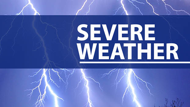
Weather advisories issued as heavy rain, winds impact area
Published 4:21 pm Wednesday, September 25, 2024
|
Getting your Trinity Audio player ready...
|
*UPDATED 11:18 a.m.*
POLK COUNTY—A Tropical Storm Warning and Flood Warning have been issued for parts of Polk County as the effects of Hurricane Helene are felt across the area. Helene strengthened to a Category 2 storm on Thursday, and as of the 11 a.m. was moving northeast at 12 mph, about 320 miles southwest of Tampa, Fla.
The National Weather Service issued the advisories for Western North Carolina and the Upstate. Heavy rain and the potential for high winds throughout Thursday and Friday are expected. There is a possibility of downed trees and power lines from Thursday night into Friday morning.
Heavy rainfall is a significant concern. An additional 6 to 10 inches of precipitation is expected, with higher amounts in some areas.
“Rivers and tributaries may overwhelmingly overflow their banks in many places with deep moving water,” the advisory states. “Small streams, creeks, and ditches may become raging rivers. In mountain areas, deadly runoff may rage down valleys while increasing susceptibility to rockslides and mudslides. Flood control systems and barriers may become stressed.”
The NWS says emergency plans should be in place, and residents should urgently consider protective actions from widespread rainfall flooding. Any flood watches and warnings should be heeded.
Motorists should use extra caution when driving.
The advisory also states that conditions are favorable for isolated tornadoes.
Tryondailybulletin.com will be updated with any further developments.


-
Polls
 Loading ...
-
-